

Sole Earth
Description
Additional Info
Reviews
Description
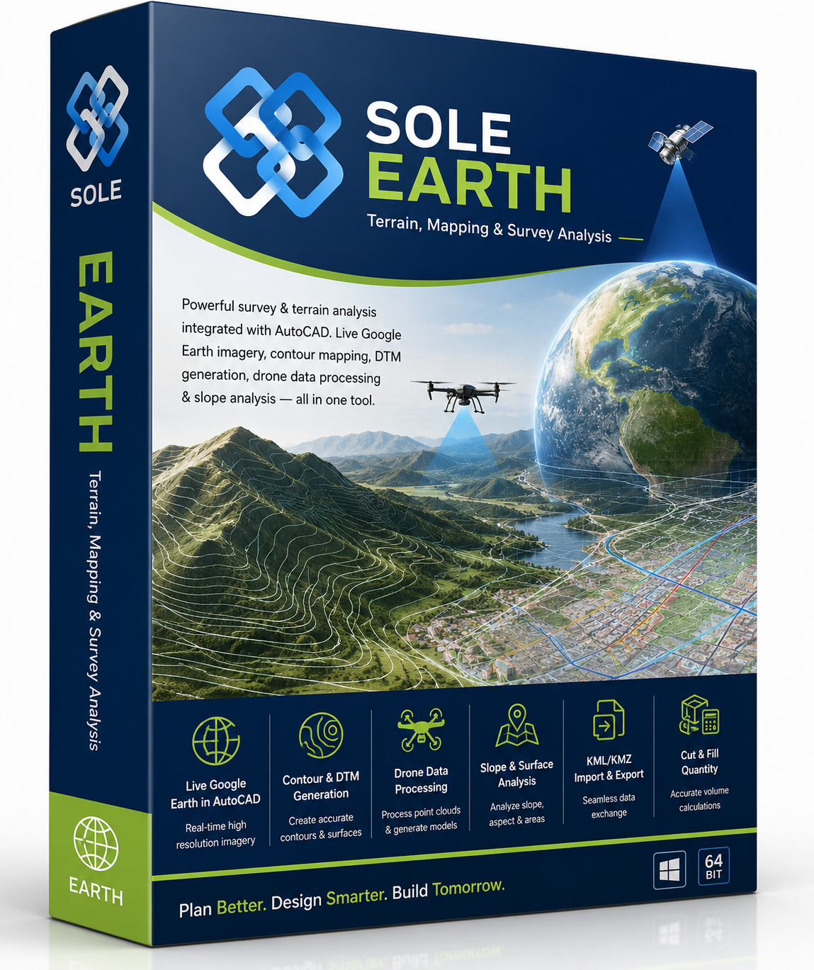
SOLE Earth turns survey, satellite and drone data into terrain you can work with — live maps, contours, digital terrain models, surfaces and elevation, generated in a few clicks. This is the lifetime version, activated with a USB dongle, and it includes every SOLE Earth tool.
Live Maps & Satellite
- Live Google Earth imagery
- Google, Bing, ArcGIS and Hybrid maps
- HD map cutting with local storage
- WGS84 — no zone dependency
Contour & DTM
- Smooth contours at custom intervals
- Shaded contour visualisation
- Auto DTM plan from survey data
- 3D surface models from contours
Cut & Fill Quantity
- Fast DTM quantity calculation
- Grid-based earthwork estimation
- Auto grid with uniform spacing
- Define and exclude region options
- Irregular boundary support
Slope & Surface Analysis
- Slope analysis with colour mapping
- Surface area calculation
- Multiple 3D views: top, front, right, isometric
Drone Data Processing
- Large drone dataset handling
- Surfaces and contours from point data
- DTM from drone survey
- Optimised fast processing
KML & Georeference
- KML and KMZ import, 3D export
- Georeference existing drawings
- Read elevation from mapped areas
Google Elevation
- Area elevation reader
- Polyline elevation reader
- Google satellite images
Survey Data
- Import from total station or DGPS
- Cross-section and L-section
- Point data processing
- 3D surface modelling
Licence and activation
- Lifetime licence, one-time purchase — ₹80,000 + GST
- USB dongle activation, works without an internet connection
- Optional AMC ₹9,000 a year for updates and support
Prefer to pay yearly or monthly instead? See SOLE Earth — Full, Basic or Live.
Additional Info
Reviews
Related Products

Price range: ₹ 40,000 through ₹ 150,000 (+GST)

₹ 95,000 (+GST)

New
Price range: ₹ 60,000 through ₹ 250,000 (+GST)

Price range: ₹ 3,000 through ₹ 21,600 (+GST)
Price range: ₹ 5,000 through ₹ 36,000 (+GST)
Price range: ₹ 40,000 through ₹ 150,000 (+GST)
Price range: ₹ 5,000 through ₹ 18,000 (+GST)

₹ 265,000 (+GST)