

Annual Subscription
SOLE Earth v3.05
Terrain, Mapping & Survey Analysis
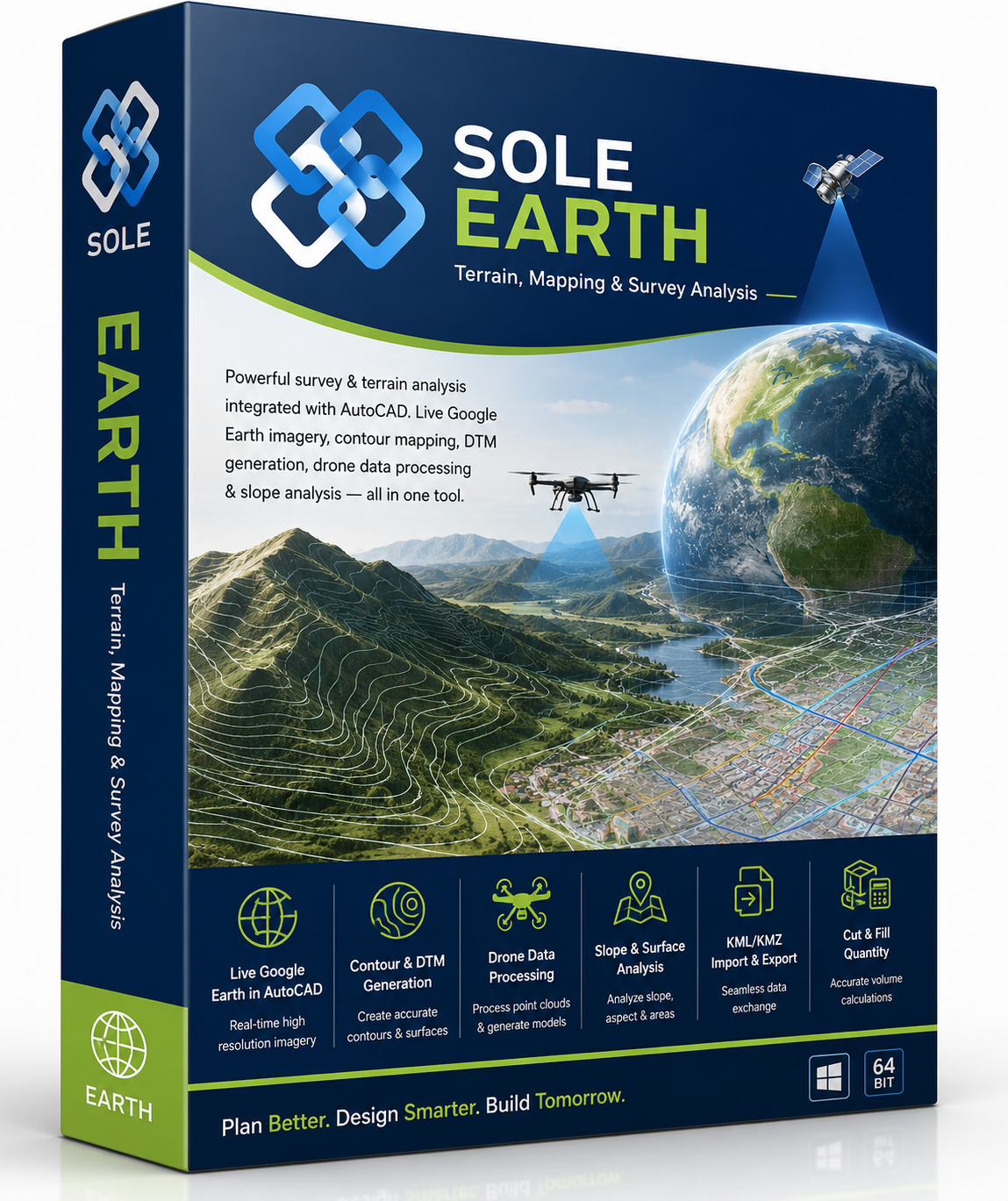
Powerful survey & terrain analysis integrated with AutoCAD. Live Google Earth imagery, contour mapping, DTM generation, drone data processing & slope analysis — all in one tool.
- ✓ Live Google Earth in AutoCAD
- ✓ KML/KMZ Import & Export
- ✓ Contour & DTM Generation
- ✓ Drone Data Processing
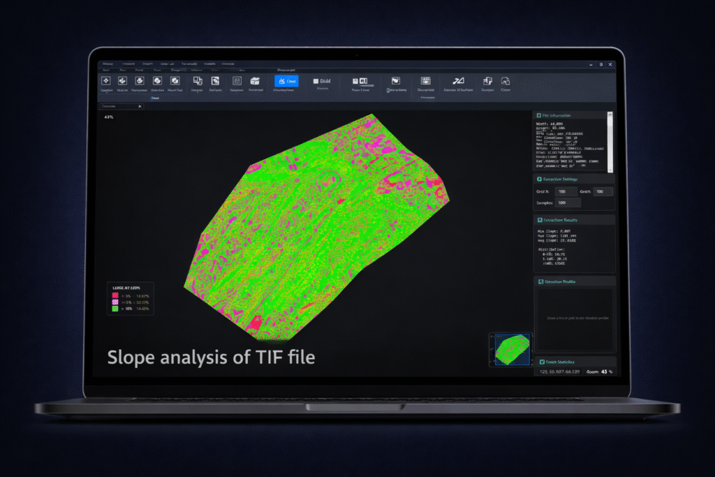
- ✓ Slope & Surface Analysis
- ✓ Cut & Fill Quantity
₹80,000 /year (+GST)
⟳ Auto-renewing annual subscription
AutoCAD Plugin — 2012 to 2026
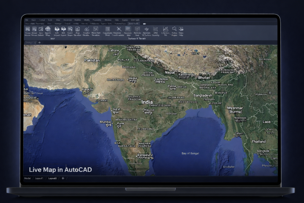
Live Satellite Maps
Google Earth, Bing, ArcGIS & more
Feature Overview
Terrain & Mapping Tools
1 / 5
Capabilities
Powerful Terrain & Mapping Tools
Live satellite imagery, contour generation, DTM, drone data, and earthwork analysis — all from within AutoCAD.
Live Maps & Satellite
5 features
- ✓ Live Google Earth inside AutoCAD
- ✓ Google, Bing, ArcGIS & Hybrid maps
- ✓ HD map cutting with local storage
- ✓ WGS84 — no zone dependency
- ✓ Georeference existing drawings
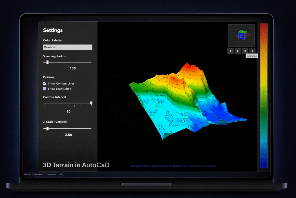
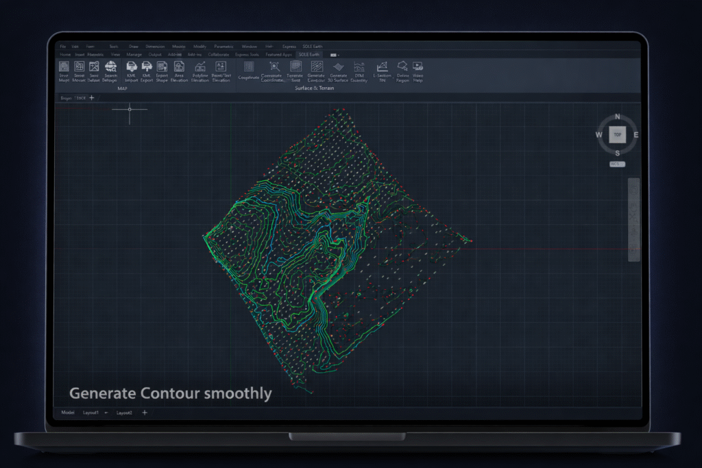
Contour & DTM
5 features
- ✓ Smooth contours at custom intervals
- ✓ Shaded contour visualization
- ✓ Auto DTM plan from survey data
- ✓ 3D surface models from contours
- ✓ Slope analysis for terrain
Cut & Fill Quantity
5 features
- ✓ Fast DTM quantity calculation
- ✓ Grid-based earthwork estimation
- ✓ Auto grid with uniform spacing
- ✓ Define & exclude region options
- ✓ Irregular boundary support
Drone Data Processing
5 features
- ✓ Large drone dataset handling
- ✓ Surfaces & contours from point data
- ✓ DTM from drone survey
- ✓ KML/KMZ import & 3D export
- ✓ Optimized fast processing
See the Earth. Design on It.
Live satellite imagery, drone data processing, contour mapping & earthwork analysis — SOLE Earth brings the real world into your AutoCAD workspace.