Sole Earth
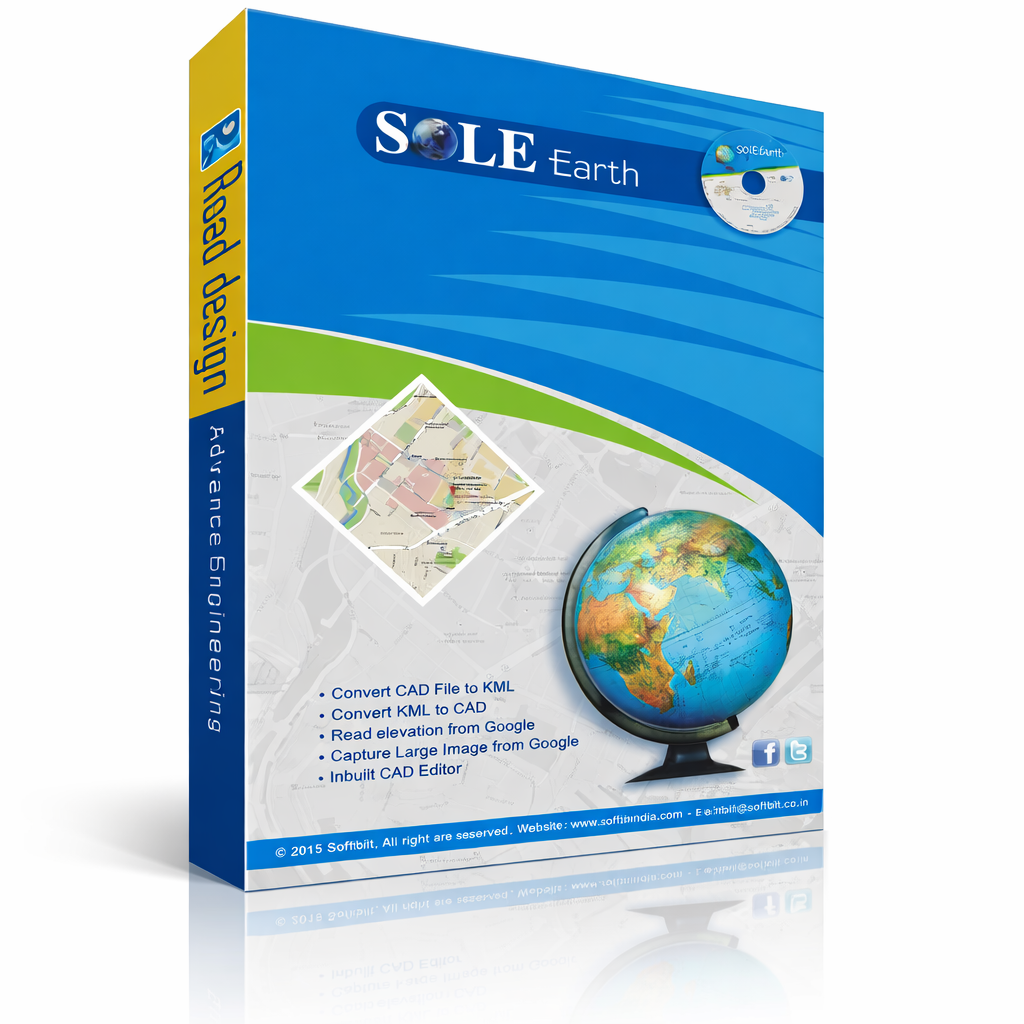
SOLE Earth is an advanced terrain analysis and earth-modeling software designed to work seamlessly within AutoCAD. It enables engineers and planners to generate live maps, digital terrain models (DTM), contours, surfaces, and elevation data quickly and accurately.
Built with modern programming tools and intelligent algorithms, SOLE Earth offers a smooth, intuitive interface that simplifies complex terrain tasks into just a few clicks. Its scalable and future-ready architecture ensures long-term reliability, performance, and compatibility with evolving technologies.
SOLE Earth delivers fast, precise, and efficient terrain visualization, making it an ideal solution for surveyors, planners, and engineering professionals.
This is the Lifetime Dongle version of SOLE Earth. It includes all features
with USB dongle-based activation
For subscription-based options (monthly/annual), see our other SOLE Earth packages.