Skip to main content Scroll Top

SOLE Earth — Full (Subscription)

Price range: ₹ 5,000 through ₹ 36,000 (+GST)

Complete SOLE Earth subscription with ALL features — Live Maps, Contour, DTM, Quantity, Elevation, Drone & more. Online activation. ₹3,000/mo (billed annually) or ₹5,000/mo.

SKU: N/A
Categories:
Share:
Description
Additional Info
Reviews
Description

Includes ALL SOLE Earth Tools:

📍 Live Maps & Satellite
• Live Google Earth inside AutoCAD
• Google, Bing, ArcGIS & Hybrid maps
• HD map cutting with local storage
• WGS84 — no zone dependency

📐 Contour & DTM
• Smooth contours at custom intervals
• Shaded contour visualization
• Auto DTM plan from survey data
• 3D surface models from contours

📊 Cut & Fill Quantity
• Fast DTM quantity calculation
• Grid-based earthwork estimation
• Auto grid with uniform spacing
• Define & exclude region options
• Irregular boundary support

🏔️ Slope & Surface Analysis
• Slope analysis with color mapping
• Surface area calculation
• Multiple 3D views (Top, Front, Right, Isometric)

✈️ Drone Data Processing
• Large drone dataset handling
• Surfaces & contours from point data
• DTM from drone survey
• Optimized fast processing

🗺️ KML & Georeference
• KML/KMZ import & 3D export
• Georeference existing drawings
• Read elevation from mapped areas

📡 Google Elevation
• Area Elevation reader
• Polyline Elevation reader
• Google Satellite Images

Usage Quota (per year):
• 25,000 Google Images
• 2,00,000 Elevation Points

Additional Info
Billing Period

Annual, Monthly

Reviews

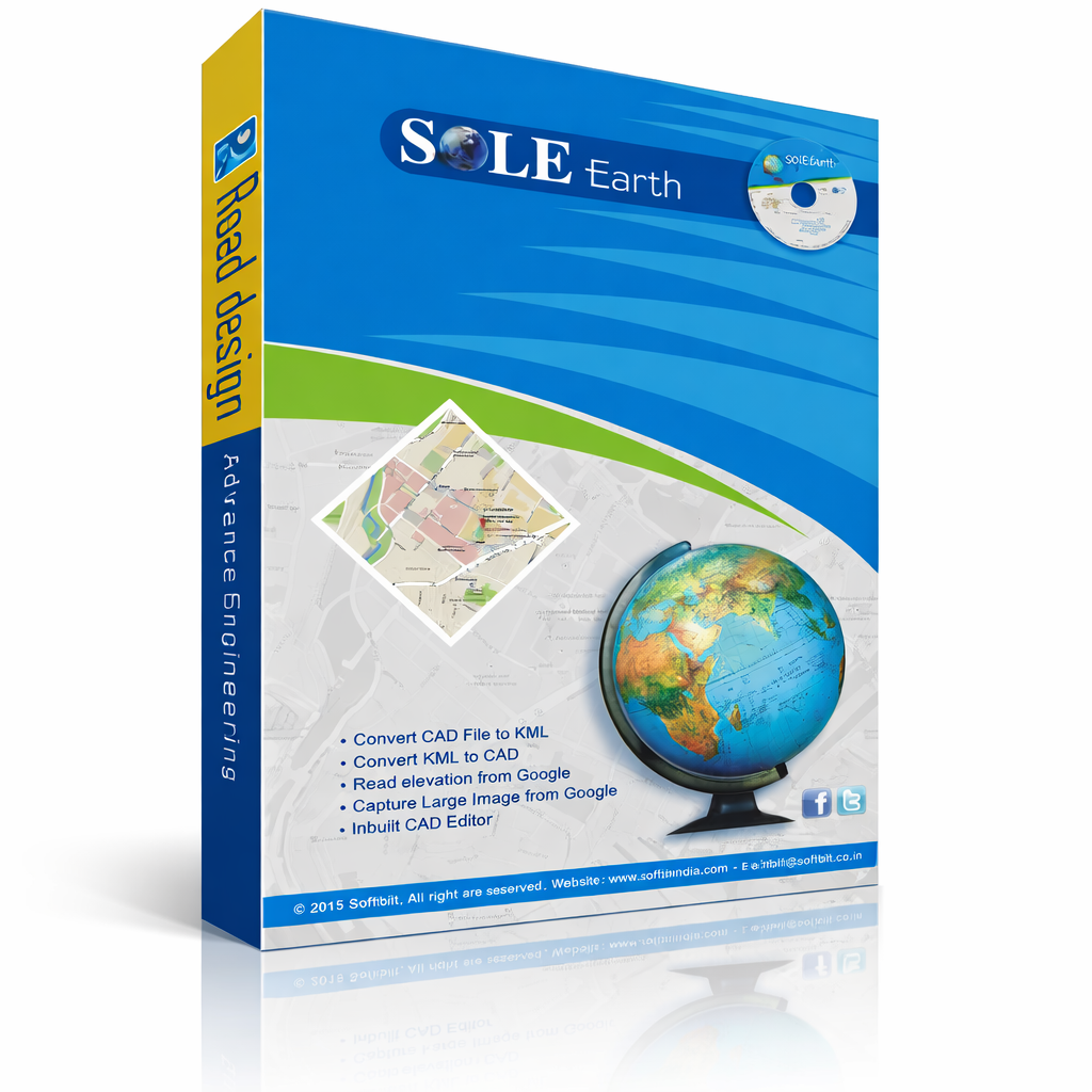
SOLE Earth Full Subscription gives you access to the complete feature set
including live satellite maps, Google elevation tools, contour generation,
DTM analysis, quantity calculation, slope analysis, drone data processing,
and all other tools — with online activation.

Usage Quota (per year):
• 25,000 Google Images
• 2,00,000 Elevation Points

Item added to cart View Cart Checkout