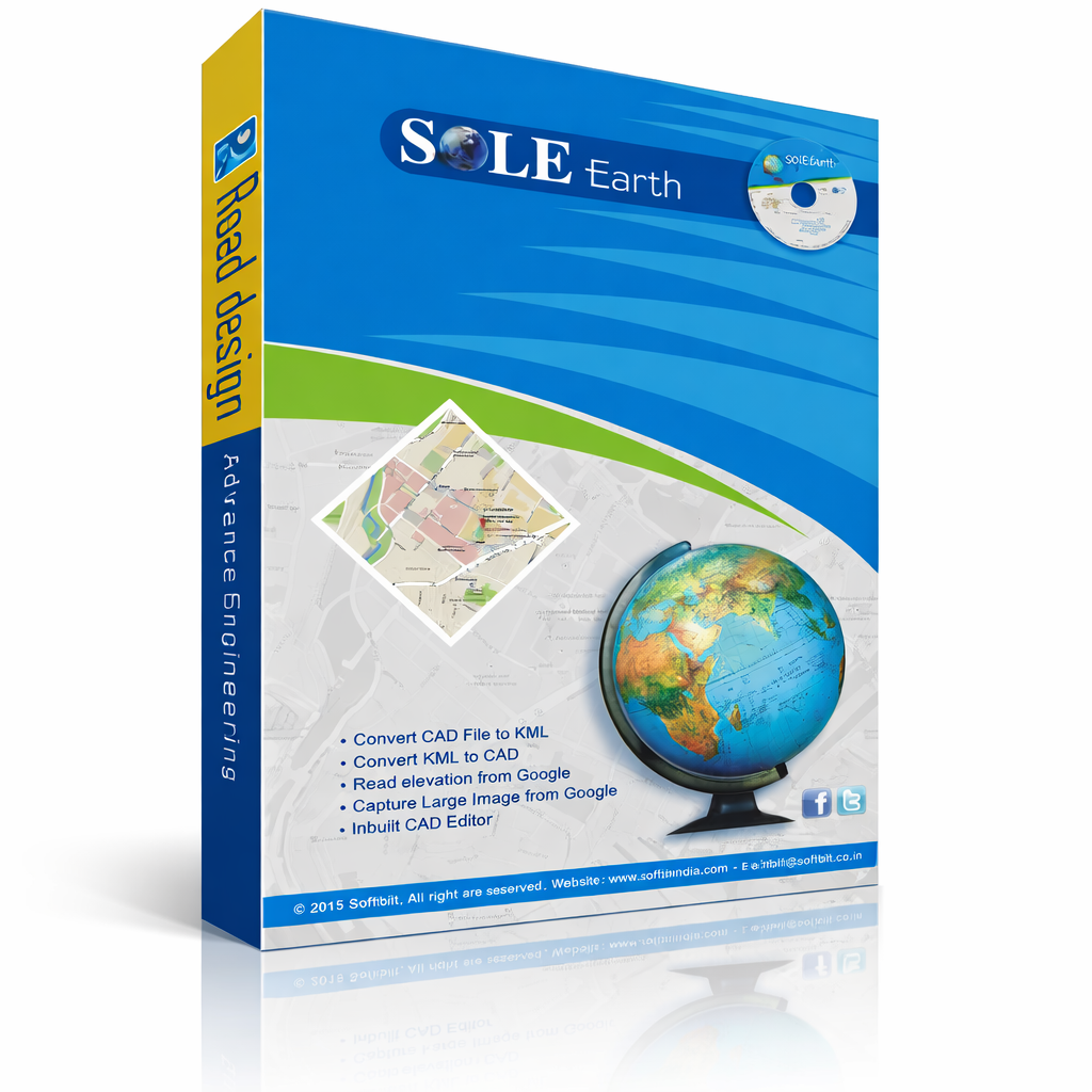
SOLE Earth Google & Drone package gives you access to all Google-powered and
Drone-based tools — Live Satellite Maps, Google Elevation, Satellite Images,
and Drone Data Processing — directly inside AutoCAD.
Ideal for engineers who already have survey/contour tools but need live mapping,
elevation extraction, and drone data capabilities added to their workflow.
Usage Quota (per year):
• 12,000 Google Images
• 1,00,000 Elevation Points